

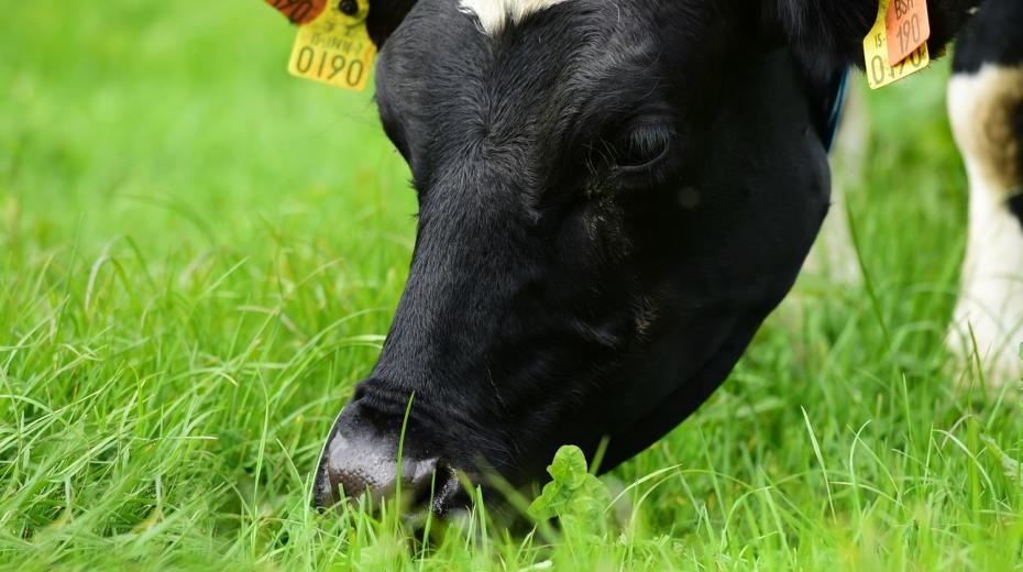
VistaMilk uses satellites to help Irish dairy farmers manage the land
VistaMilk is using satellite imagery to assist farm management decisions made on the ground and improve environmental impact of farming.
Real-time information about soil moisture is an essential tool for farmers when planning and managing the efficient use of their land and the VistaMilk study is using satellites in earth’s orbit to collect that information.
The research project uses imagery from the Europe Space Agency’s Sentinel satellites to map soil moisture in Ireland, with the capability of focusing in on areas as small as 10 square metres. The data gathered could be used to help farmers make decisions about which fields to allow their livestock feed while maintaining optimal grazing and grass growth, which fields require drainage or even wetting, and potentially when to add or reduce use of fertilisers and slurry.

According to VistaMilk, the satellite soil moisture data has the potential to become part of the farm management toolkit which will help Irish farmers manage their farms more efficiently and in an increasingly environmentally friendly way.
Rumia Basu, a VistaMilk PhD student from Teagasc, at the University of Galway, who is running the project said: “The importance of understanding the soil moisture levels both historically and on a given day is an essential part of daily farming particularly as decisions made can impact not only production outputs but also the environment. The models we are developing that will provide real time information to assist farmers in their decision making is leading-edge and – due to Irelands climate – quite unique.
“Using high resolution satellite radar data which is available in all weather, day or night, combined with optical observation data allows us to provide daily information that one day we hope will be available on an app that farmers can use on what we know to be one of their most valuable pieces of equipment – their phones. As we are able to home in on an area as small as 10 metres square, we will be able to provide farmers with data on a field-by-field basis.”
Pat Tuohy, funded investigator, VistaMilk, said: “As well as daily moisture reports we can also look back at historical data to identify areas of a farm that are adversely affected by prolonged periods of wet or dry weather. This will inform farmers where land management strategies may be required.
“Complemented by weather forecasting data the information could potentially influence decisions on where, when and how to apply fertilisers and slurry and what interventions may be required to prevent runoff from the land into watercourses.
“The satellite data could also influence other research projects. For example, there is ongoing research into carbon sequestration levels on Irish farms. The possibility of combining results from such projects – as well as others looking at grass growth, for example – could give us a picture of how best to manage soils to increase carbon absorption without affecting productivity.
“Four years on, since the VistaMilk Research Centre was created, it is encouraging to see that our research is making a real contribution to ensuring a sustainable future for dairy farming in Ireland, preserving a traditional way of life, providing significant employment, and making a considerable contribution to the Irish economy.”
TechCentral Reporters

Subscribers 0
Fans 0
Followers 0
Followers