

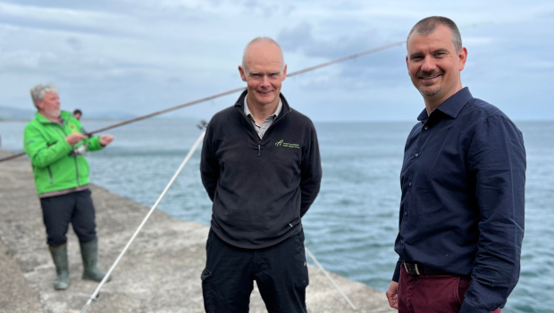
Inland Fisheries project turns sea anglers into citizen scientists
Inland Fisheries Ireland and the sea angling community in have begun using Esri Ireland’s digital mapping system is being used to help safeguard fish populations and protect marine ecosystems.
Esri’s ArcGIS system supports the Irish Marine Recreational Angling Survey (IMREC) which aims to estimate sea anglers’ catches in Ireland. Up to 250,000 recreational sea anglers are active along the 3,000km of Irish coastline annually.
To meet its EU data collection requirements around species, locations, and volumes of fish caught annually in European waters, Inland Fisheries Ireland saw a need for a collaborative approach to collate its own data with self-reporting by recreational sea anglers.

By turning anglers into citizen scientists Esri’s Survey123 app enables anglers to gather and upload real-time information from any device about the fish they catch and release. This information is then automatically transferred to a shared repository, ArcGIS Hub, where it can be viewed monitored to identify patterns in the species distribution, volumes and weight of fish caught, and estimated catch rates. Each participant has access to a personalised dashboard where they can track their own contributions and angling successes.
The state agency had success recently using Esri’s ArcGIS system to report on a catch, tag and release programme for the critically endangered Atlantic bluefin tuna.
William Roche, senior research officer at Inland Fisheries Ireland, said: “ArcGIS will enable us to recruit anglers as citizen scientists and crowdsource the large volume of data that we require for EU and national reporting. With more anglers collecting data, we will be able to build up a better picture of the state of fish stocks off Ireland’s coast, particularly for anglers.
“The personalised dashboards will help to make the recording of data a habitual activity for anglers. We hope they will enjoy entering their catch data and take pride in their role as observers and stewards of Ireland’s fish stocks.”
Schalk Van Lill, Customer Success Manager, Esri Ireland: “Citizen science like this provides broad spatial coverage all around the coastline of Ireland, enabling Inland Fisheries Ireland to efficiently comply with requirements. The solution can be easily scaled up to accept data uploads from more and more participants, allowing Inland Fisheries Ireland to expand the scheme over time.”
TechCentral Reporters


Subscribers 0
Fans 0
Followers 0
Followers