

Esri Ireland software puts Simply Blue at the crest of the marine development wave
Esri Ireland, the market leader in geographic information systems (GIS) software, is being used by marine developer Simply Blue to build a sustainable blue economy and pioneer projects such as floating wind farms, wave power and aquaculture schemes.
Headquartered in Cork, Simply Blue is the leading early-stage developer of transformative floating wind, wave energy and sustainable aquaculture projects in Ireland and the UK. Its aim is to optimise the sustainable development of the ocean’s vast resources in an ethical manner.
Initially, Esri Ireland’s digital mapping system, ArcGIS, will be used to support in-house decision-making. This will include identifying suitable locations for wind turbine fields and assessing how productive they might be by using a wide range of environmental and commercial criteria to analyse vast amounts of data and narrow down a shortlist of potential sites. Simply Blue has also recently partnered with traditional energy companies to develop floating wind farms in the Celtic Sea.

The interactive mapping features will be used to communicate projects to communities and stakeholders, and ArcGIS could play a critical role in helping to convey how big wind farms will be, where they are and what they will look like from different vantage points. Simply Blue hopes to use interactive maps to show communities what offshore wind farms will look like from their homes and to reassure fishermen that proposed marine developments will not affect fishing grounds.
The solution will also allow Simply Blue to collaborate more effectively with clients and consultants. The company will be able to view and share geospatial data in real-time and leverage GIS, especially in the planning and development phase of new sustainable energy projects, which is a focal point for the organisation as an early-stage developer.
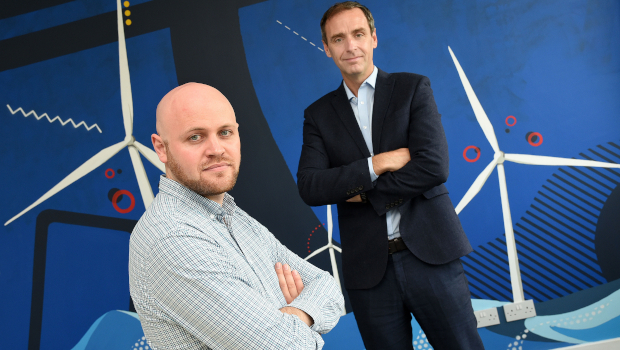
Sam Bouma, energy resource modeller and data specialist at Simply Blue said: “We are passionate about oceans and the huge potential that they offer for renewable energy generation and sustainable aquaculture.
“We needed a reliable GIS that would meet our immediate requirements, but also support us in achieving our longer-term goals. We selected Esri Ireland’s ArcGIS because it has credibility. It is used by lots of other companies in this industry, so contractors and partners are familiar with it.
“We don’t live in a paper world anymore, and being able to interact with maps to explore data on demand creates all kinds of opportunities. ArcGIS will also help to open up conversations with communities and key stakeholders to deliver information clearly and concisely, and help to avoid any misunderstandings.
“As things in the marine development industry are moving so fast, ArcGIS enables us to keep our options open. As new opportunities come up, we will be able to pivot and deliver whatever is needed to ensure the sustainable use of the world’s oceans.”
Dermot O’Kane, head of sales, Esri Ireland, said: “Esri Ireland has delivered a highly-interactive digital mapping solution which is set to play a key role in helping Simply Blue to continue to accelerate its business, and ultimately achieve its goal of building a sustainable blue economy. The solution is scalable and will align with Simply Blue’s business objectives and requirements as it continues to grow.”
TechCentral Reporters


Subscribers 0
Fans 0
Followers 0
Followers